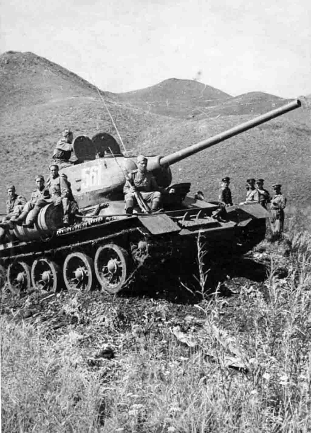
Red Army T-34-85 medium tank from the Soviet Armored Forces overcome the Khingan Mountains. Manchuria, August 1945.
The Khingan is a volcanic mountain range in northeastern China (in the Inner Mongolia Autonomous Region) and eastern Mongolia.
Refers to the Hercynian folding. It has a direction from southwest to northeast, the length of the ridge is approximately 1200 km, width – up to 400 km. Divides the plain of northeastern China east of the Mongolian Plateau. The predominant height is 800-1200 m, the highest point is Mount Huanggangshan (2034 m), according to other sources, the highest heights are up to 1949 m. The western slope is long and gentle, the eastern slope is steeper, strongly dissected into spurs. The peaks are flat and the dominant rocks are granite, liparite and andesite.
The Khingan Mountains is covered with dense forests – the northern light-coniferous taiga to the south gradually turns into coniferous-deciduous forests.
The northern part of the Khingan Mountains ridge is swampy due to permafrost. On the western slope there are sands brought by the wind from Central Asia. The ridge conventionally draws the boundary between wet Eastern and dry Central Asia.
During the Soviet-Japanese War, the Khingan Mountains became the site of an offensive by the 6th Guards Tank and 39th armies of the Red Army.
Photo place: Khingan, Manchuria
Time when the photo was taken: August 1945
